Rafael Simmons · 14 October 2026
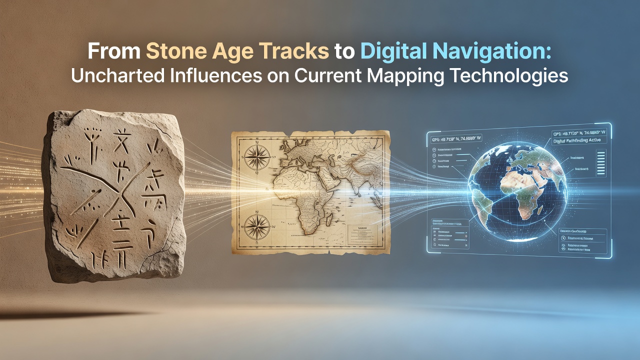
From Stone Age Tracks to Digital Navigation: Uncharted Influences on Current Mapping Technologies
Stone Age paths carved across landscapes by early human groups established foundational patterns for route selection and terrain assessment that persist in algorithms used by contemporary mapping systems. Archaeological records show these tracks often followed natural contours and resource locations, principles that inform elevation modeling and path optimization in current geographic information systems. Researchers trace direct connections between these early decisions and the way digital platforms prioritize least-effort routes while accounting for obstacles such as rivers or steep gradients.
Early Mapping Practices and Their Lasting Mark
Medieval cartographers built upon these origins by compiling route networks from traveler reports and trade records, creating the first systematic representations of connectivity across regions. Those compilations introduced standardized symbols for roads, settlements, and boundaries that later evolved into the layer structures found in modern GIS software. Data from European archives indicates that accuracy standards developed during this period influenced the grid systems adopted during the scientific revolution, when surveyors began applying mathematical projections to correct distortions over large distances.
Exploration voyages in the fifteenth through eighteenth centuries expanded these frameworks through systematic coastal charting and astronomical positioning. Navigators combined dead reckoning with star observations to produce charts that reduced positional errors, methods that parallel the sensor fusion techniques employed in today's satellite-based systems. According to records maintained by the United States Geological Survey, topographic mapping initiatives launched in the late nineteenth century incorporated many of the same triangulation principles first refined during those expeditions.
Technological Shifts in the Twentieth Century
Aerial photography introduced during the early 1900s provided the first overhead perspective, allowing mappers to document features at scales impossible from ground level. Military and civilian programs collected millions of images that formed the basis for photogrammetry techniques still used to generate elevation data. These datasets later fed into the initial digital elevation models that underpin current navigation applications, creating continuity between analog film measurements and pixel-based analysis.
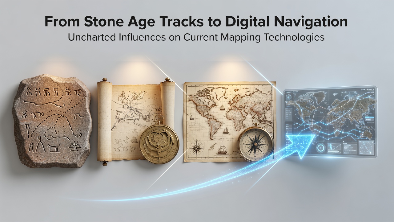
Satellite technology launched in the mid-twentieth century delivered global positioning capabilities that transformed route planning from localized efforts into worldwide networks. The deployment of systems such as the Global Positioning System created real-time coordinate references that replaced earlier reliance on printed charts. European Space Agency documentation notes that subsequent constellations, including Galileo, added independent timing and ranging signals that improved reliability in dense urban environments and under tree cover, directly extending the accuracy goals first established by ground-based survey teams centuries earlier.
Contemporary Applications and Historical Data Integration
Current mapping platforms integrate historical trail data with live sensor inputs to support applications ranging from logistics routing to environmental monitoring. Layers derived from ancient path networks help calibrate predictive models for terrain stability and vegetation patterns, while modern algorithms apply the same least-cost analysis once performed mentally by early travelers. In October 2026, updates to open geospatial standards incorporated additional historical datasets from North American and Australian surveys, allowing developers to overlay pre-industrial routes onto real-time traffic layers without disrupting existing coordinate frameworks.
Government agencies across multiple continents now require that new mapping products reference legacy survey benchmarks established during national triangulation projects of the early twentieth century. These benchmarks provide continuity for coordinate transformations that align older paper maps with satellite-derived positions. Industry reports from organizations such as the International Cartographic Association document how these requirements reduce cumulative errors when merging multi-temporal data sources into unified databases.
Conclusion
The progression from Stone Age tracks to digital navigation reflects cumulative refinements in observation, measurement, and representation rather than abrupt breaks with the past. Each era contributed specific techniques for handling scale, accuracy, and connectivity that remain embedded in the software architectures and data standards used today. Ongoing integration of archival records with live geospatial feeds demonstrates that foundational practices continue to shape the tools relied upon for daily movement and large-scale planning.